PLAN YOUR VOYAGE.
KEEP YOUR EDGE.
Modern maritime voyage planning across web and mobile
See the chart, build the route, check weather and tides, and head out with free official NOAA charts, voyage-ready exports, and offline-capable workflows.
Built for boaters who want more than a chart viewer but less friction than legacy bridge software.
WHY WAYPOINT
ROUTE PLANNING THAT THINKS AHEAD
Great Circle and Rhumb Line calculations, drag-to-edit waypoints, ETA, and route controls that feel built for real passages.
"Build the route before the weather builds the pressure."
ACTIVE VOYAGE AWARENESS
Real-time GPS tracking, ETA, arrival detection, and XTE awareness when you're underway.
"See what matters when the route becomes real."
WEATHER + TIDES IN WORKFLOW
Review weather at ETA, inspect tides, and make route decisions with conditions in view.
"Conditions belong in the plan, not in a separate tab."
FREE OFFICIAL CHARTS
NOAA paper and ECDIS styles with OpenSeaMap, bathymetry, and layer controls when you need more context.
"Chart depth without chart-subscription fatigue."
EXPORTS + OFFLINE READINESS
GPX, KML, and voyage-plan outputs for handoff, backup, and professional trip prep - with downloadable charts for low-connectivity water.
"Leave the dock with a plan you can carry and share."
SEE IT IN ACTION
A workflow tour through charts, route building, active navigation, and the details that make the trip easier to run.
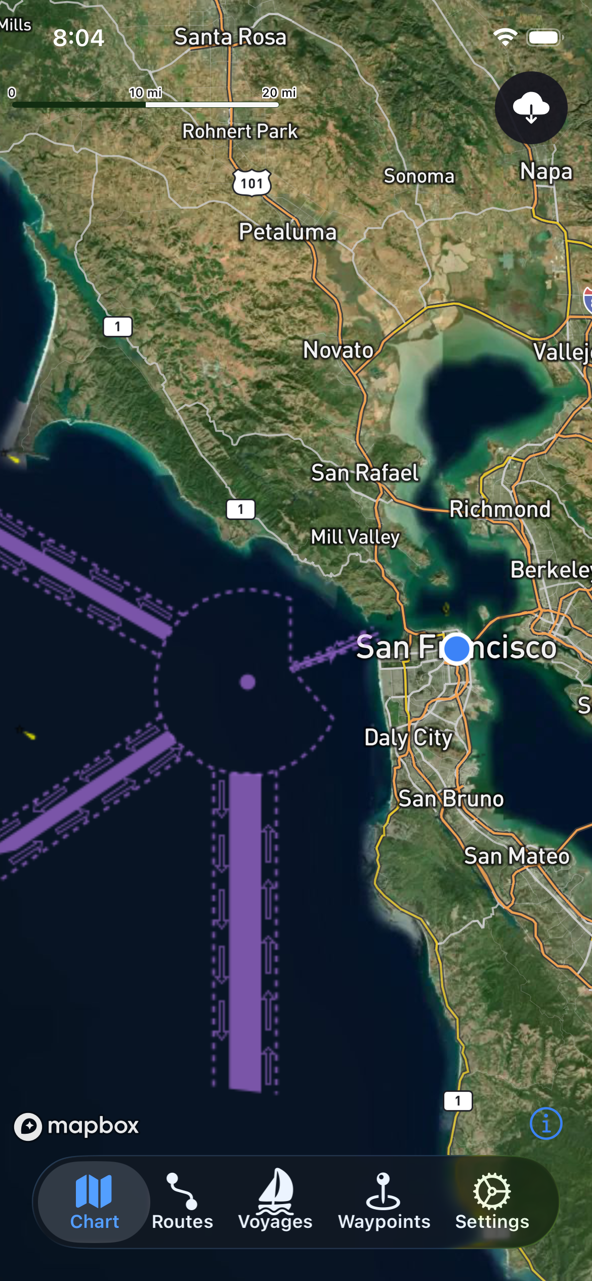
Chart + Layer View
Start from the chart and reveal the detail you need
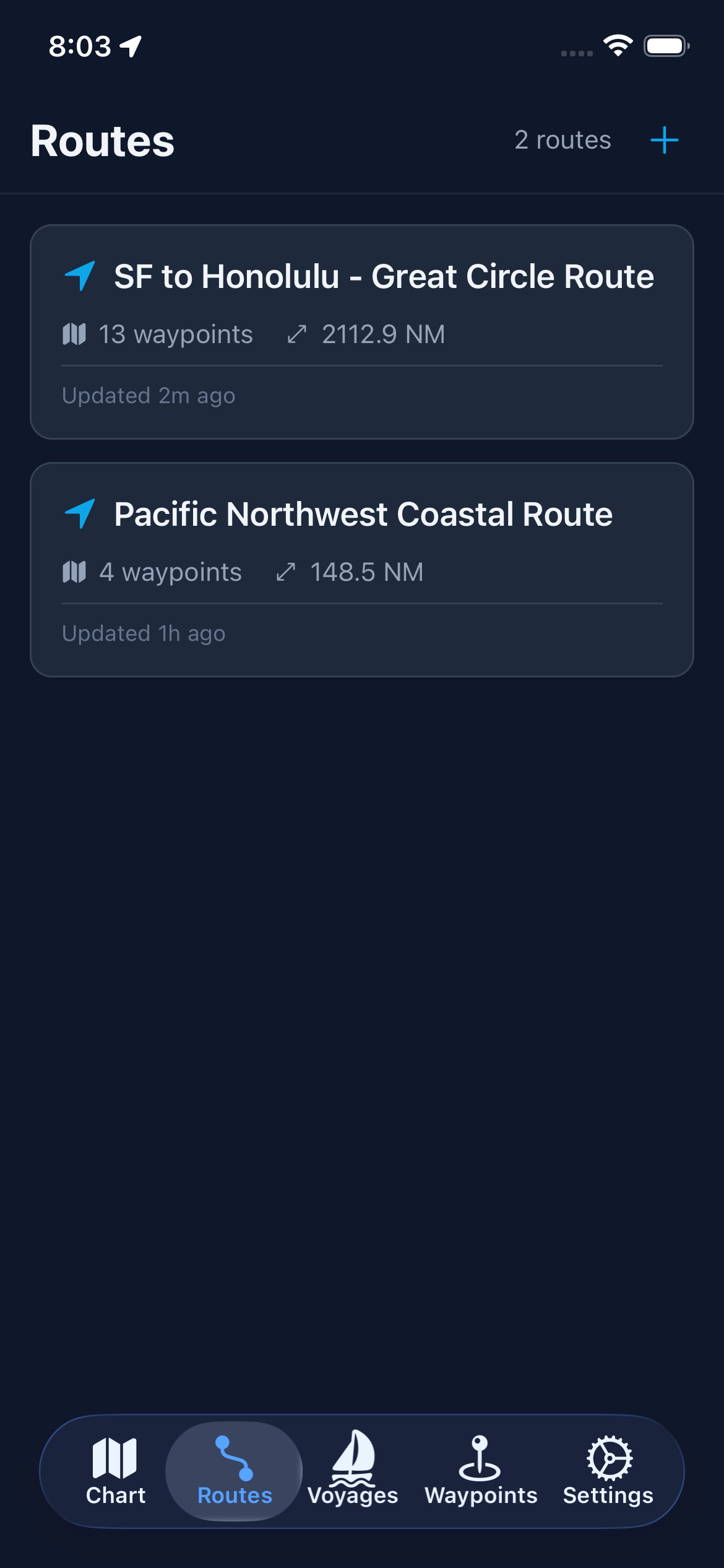
Route Planning
Shape a route with planning math instead of guesswork
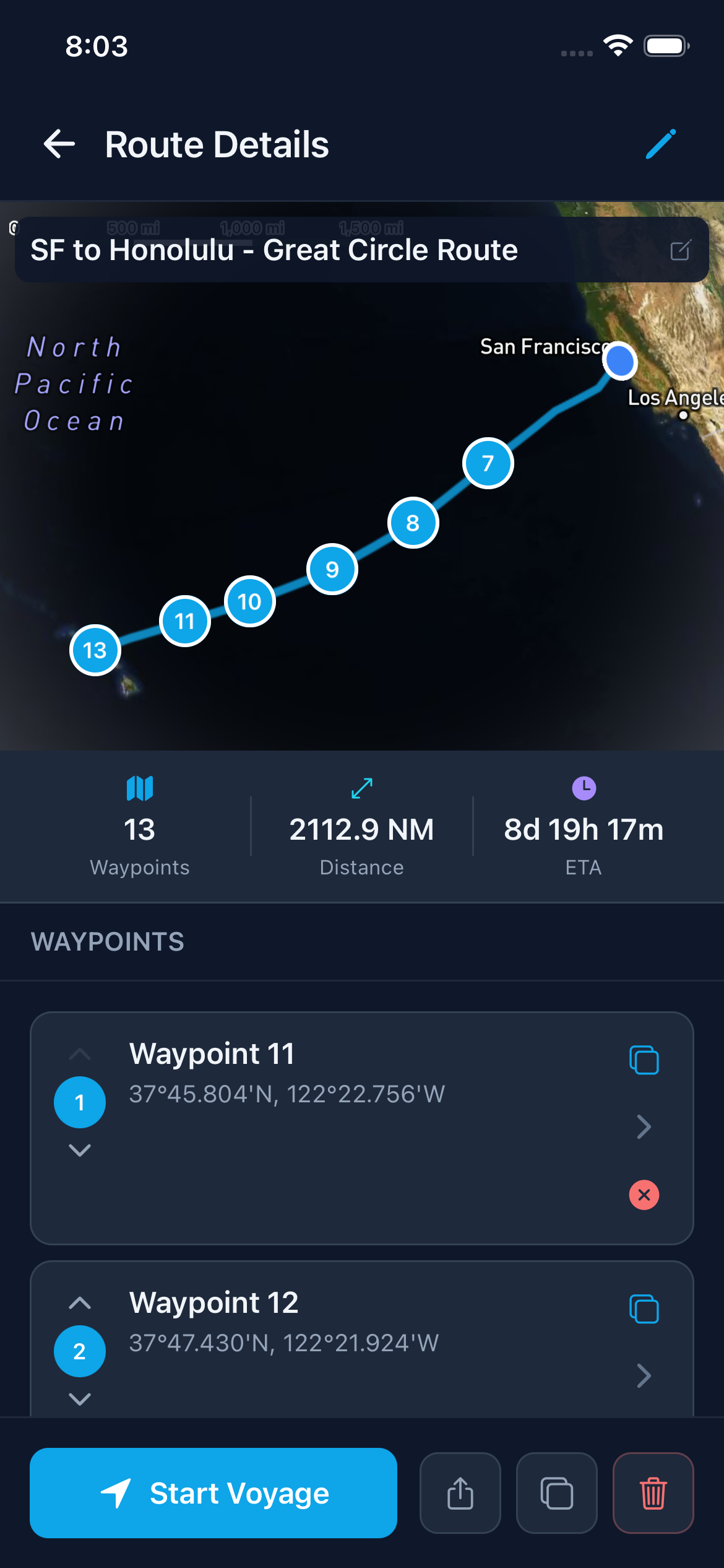
Route Detail
Review waypoints, ETA, and the trip before departure
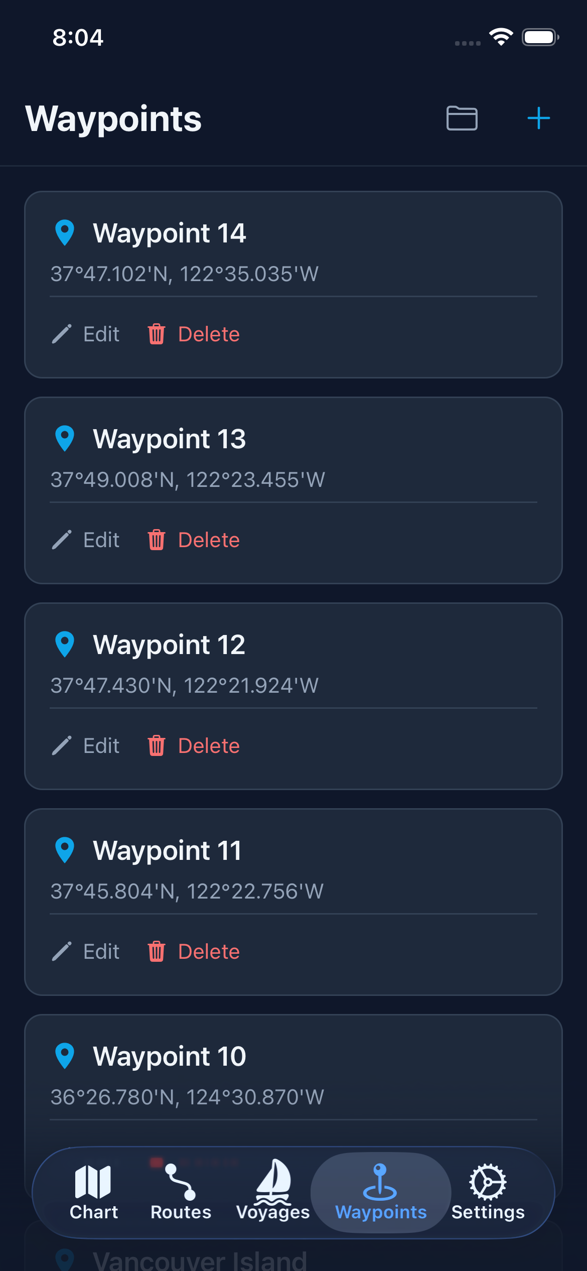
Waypoint Library
Keep recurring stops and destination knowledge close
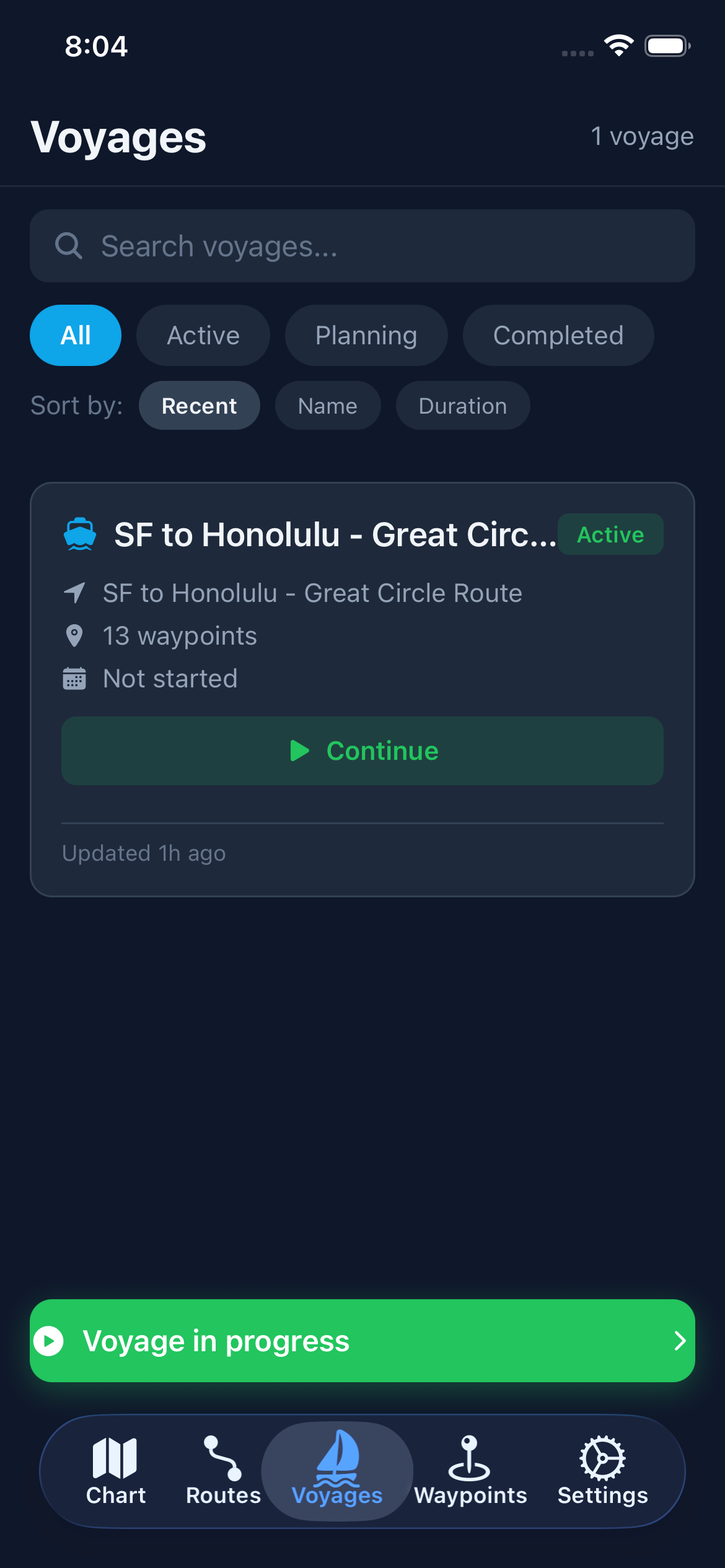
Active Voyage
Track progress underway with the route still in view
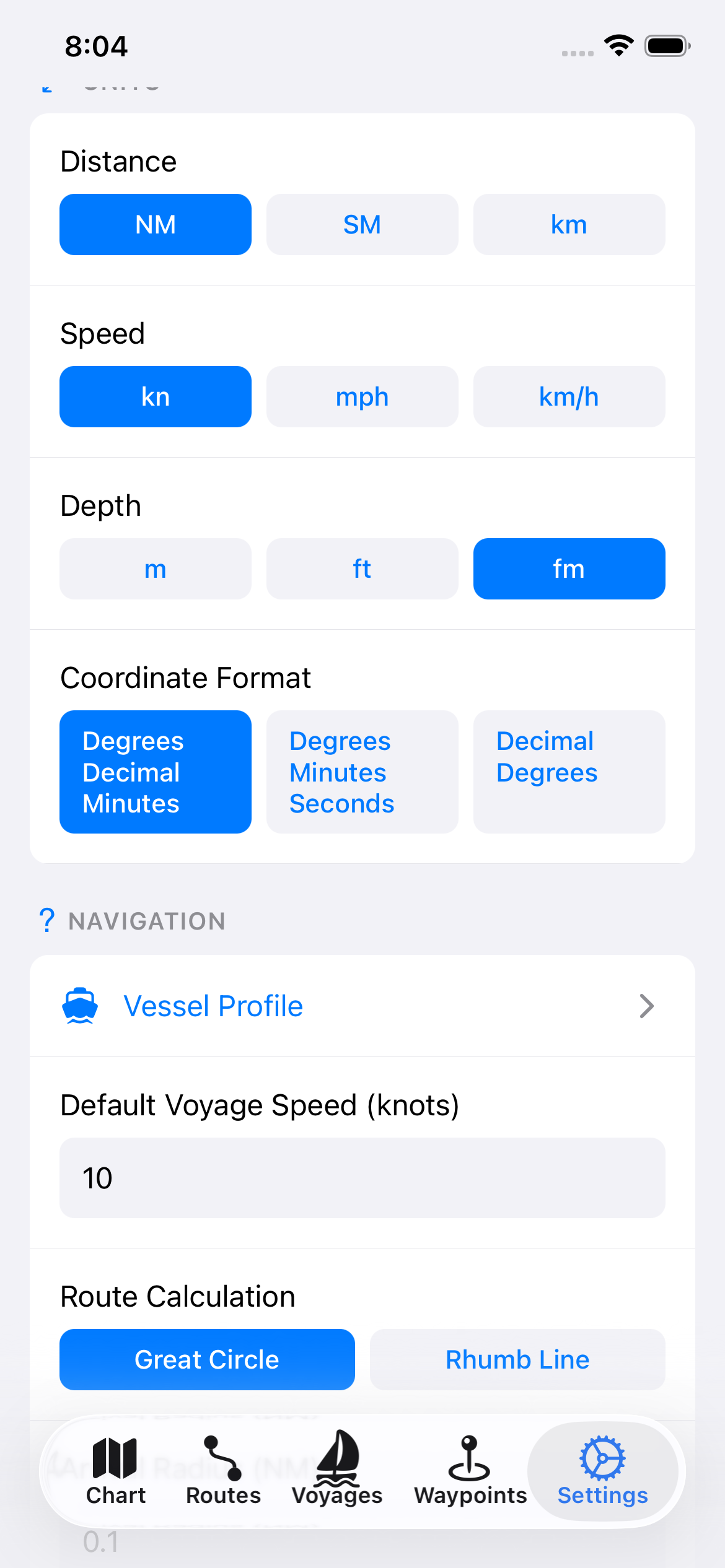
Preferences
Tune units, vessel data, and the workflow around your boat
FREE OFFICIAL NOAA CHARTS, WITHOUT THE OLD-SCHOOL UX
Start from official NOAA paper or ECDIS-style charts, then layer in OpenSeaMap and other context only when the route needs it.
- NOAA paper and ECDIS chart styles
- OpenSeaMap and layered chart context when needed
PLAN THE TRIP, NOT JUST THE LINE
Build routes with real navigation math, review weather and tides in the workflow, and leave with exports that are ready to share or print.
- Great Circle, Rhumb Line, ETA, and route detail review
- Weather at ETA, tides, and voyage-plan exports
FROM WEB PLANNING TO UNDERWAY DECISIONS
Move between web and mobile, keep key data available in low-connectivity waters, and stay oriented when the voyage is in motion.
- Cross-platform planning with a mobile-ready voyage view
- Offline-capable charts and route access in low-connectivity waters
Waypoint stays approachable on the surface and deeper underneath.
The homepage should lead with the shipped planning workflow, while signaling that Waypoint can grow into deeper professional workflows for operators who need more route review, reporting, and onboard context.
The homepage gives you the headline. These pages give you the proof.
If you are evaluating Waypoint seriously, the best next step is not more scrolling. It is going deeper into the parts of the product story that matter to you most.
Go deeper on charts, routing, weather, offline use, and exports
Use the feature pages to understand how Waypoint handles NOAA charts, route planning, weather and tides, offline-capable workflows, and voyage exports.
See where Waypoint fits serious recreational and commercial planning
The solution pages help different operators recognize themselves quickly without having to decode the whole product from the homepage alone.
Evaluate Waypoint against the tools people already know
Comparison pages are where switchers decide whether Waypoint is a better fit than the defaults they are already paying for or tolerating.
Need the practical pages?
These pages help answer the questions buyers usually ask right before they decide whether Waypoint is worth adopting.
Bring the whole trip-planning workflow into one place.
Open the app now, or get product updates as Waypoint keeps expanding its charts, planning, and voyage workflow.
You're on the list.
We'll send major product and launch updates.
Something went wrong
Please try again or contact us directly.
Thoughtful updates only. No inbox wake damage.